Connection level
13 direct connectionsLey Lines begin with Alfred Watkins as landscape alignments and later become a modern myth about earth energy and sacred places.
The origin with Alfred Watkins
Ley Lines did not begin as an energy theory. Alfred Watkins, a Herefordshire antiquarian and photographer, proposed straight alignments connecting landmarks, hills, churches, stones and paths. His 1925 book The Old Straight Track tried to show a network of ancient sighting and travel routes in the British landscape.
From old track to earth energy
The spiritual turn came later. In the 1960s and 1970s, leys were reinterpreted by earth mysteries and New Age movements as lines of telluric energy. The idea moved from historical topography into subtle fields, planetary chakras and places of power.
The statistical problem
Archaeological and statistical criticism matters: in landscapes dense with historic sites, it is easy to draw lines connecting points. That does not automatically prove an intentional network. The theory depends on survey quality, local context and excluding coincidence.
Why the theme still matters
Even when a specific line is not proven, the theme teaches landscape perception. Churches, hills, stones, springs and paths can form memories of use, pilgrimage, visibility and orientation.
How to read it
In AwakenMap, Ley Lines should be treated as a meeting of topography, myth and experience. The question is not only whether invisible energy exists, but how cultures mark path, memory and sacredness in territory.
Critical reading
This block should separate symbol, mathematics, physics, spiritual experience and technical claim. The beauty of an idea does not replace evidence, but evidence also does not exhaust symbolic value.
References and starting points
FAQ
Are these themes proven science?
Some elements are established mathematics, history or physics. Others are spiritual interpretations or alternative claims that require careful reading.
Alfred Watkins and the 1921 vision
Watkins was a photographer, inventor and close observer of the Herefordshire landscape. In 1921, while looking across a map, he imagined ancient points connected by straight routes. He published Early British Trackways and later The Old Straight Track, combining maps, photographs, place names and field observation.
His original hypothesis did not describe planetary energy meridians. He proposed visual and practical routes used before modern roads. Recovering this point prevents later esotericism from being projected wholesale onto the original idea.
The statistical problem of alignments
In a region containing hundreds of churches, hills, stones, crossroads and archaeological sites, many lines can cross three or more points by chance. If a researcher chooses afterward which sites count and how wide a line may be, patterns become easier to find.
A stronger test defines criteria in advance, includes all relevant points and compares results with random maps. It also asks whether places were contemporary. Strong spatial alignment among monuments separated by millennia does not easily demonstrate one project.
Ancient routes are rarely perfectly straight
Travellers respond to rivers, slopes, marshes, property and safety. Visual markers may guide segments, but real paths bend. Road archaeology examines wear, ditches, paving, stations and relationships with settlement.
A map line can be a useful field hypothesis. It becomes evidence when material traces accompany the route. Without them it remains cartographic connection rather than a demonstrated road.
The esoteric transformation of the 1960s and 1970s
Earth mysteries movements reinterpreted leys as channels of force, dragon lines or components of a planetary grid. Dowsing, UFOs, stone circles and ecological spirituality entered a new cosmology.
This phase is not simply a continuation of Watkins; it is a cultural creation in its own right. It responds to modern disenchantment by imagining a living planet crossed by invisible relationships. Symbolic value can be studied without asserting an unmeasured physical energy.
Songlines, ceques and careful comparison
Cultures genuinely connect places through ritual paths. Aboriginal Australian songlines articulate ancestry, territory, song and knowledge, while the Inca ceque system organized huacas around Cusco.
These systems should not automatically be called ley lines. They possess their own histories and concepts. Comparison shows that landscapes can become sacred networks; it does not prove that all belong to one universal energy grid.
Feng shui and dragon lines
Feng shui interprets relationships among terrain, water, direction, building and the flow of qi. Western authors compared “dragon lines” with leys, but equivalence simplifies a complex tradition.
Analogy can enrich the map when differences remain visible. Translating qi directly as unknown measurable energy or terrestrial electricity mixes cultural and physical categories.
Pilgrimage and paths of meaning
Pilgrimage routes connect shrines, hospitality, memory and transformation. The path is more than a link between points: effort, repetition and encounter turn territory into narrative.
This offers a concrete reading of ley intuition. Places connect because people walk, tell stories and orient communities. A line may exist culturally even when it is not a physical beam.
Archaeoastronomy and alignment
Monuments may orient entrances and axes toward the rising or setting Sun, Moon or stars. Archaeoastronomy combines measurement, horizon, date and cultural context to assess intention.
A solar alignment within one site does not establish a continental line among sites. Different scales require different evidence. The sky can structure landscapes without a centralized global network.
Geology, magnetism and radiation
Faults, minerals, groundwater and magnetic variation are real phenomena. Some research explores possible relationships with behaviour, perception or site location, but local results do not automatically establish leys.
Connecting a line with a physical field requires defining what is measured, with which instrument and against what controls. “Energy” must become a testable quantity rather than a broad word.
Dowsing and bodily experience
Dowsers use rods or pendulums to detect water and alleged lines. Movement can be influenced by the ideomotor effect, in which expectation produces unconscious muscular action.
Blind testing helps separate ability, environmental clues and expectation. Subjective experience may be sincere and meaningful, but sincerity does not determine an external mechanism.
The Saint Michael alignment
A famous British line connects sites dedicated to Saint Michael across southwest England. The archangel's association with heights and churches makes the pattern culturally suggestive.
Assessment requires comparing all sites dedicated to the saint, their chronology, point selection and line tolerance. Selecting only strong matches creates an elegant story without testing its improbability.
Earth Grid and planetary geometry
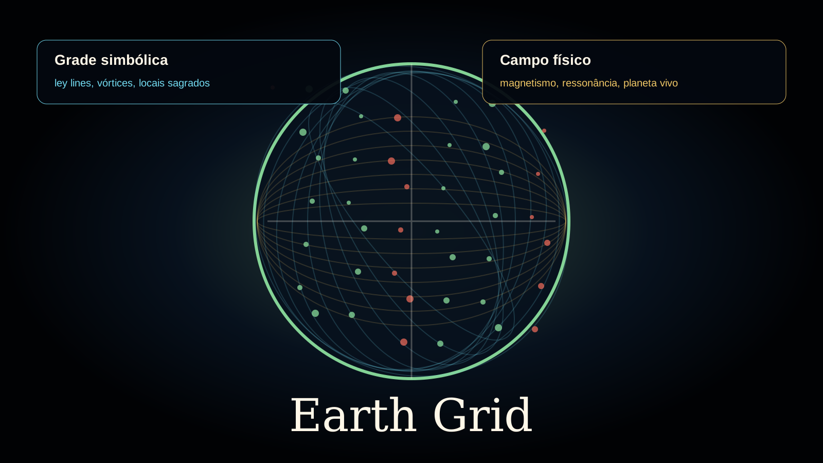
Earth-grid models project polyhedra, vortices and nodes upon the globe. They connect pyramids, anomalies, cities and sacred places. Different authors use different grids, revealing interpretive flexibility.
A scientific grid should predict new phenomena through independent coordinates and measurements. If the mesh changes to include every important point, it functions as symbolic composition rather than physical model.
Psychogeography and re-enchantment
Ley lines influenced literature, walking and psychogeography. Drawing connections changes attention: ignored detail gains presence, and city or countryside becomes a text.
This creative use does not require proof of energy. An imaginative map may reveal memory, power and feeling. The caution is not to present artistic exploration as established archaeology.
How to conduct a local investigation
Begin by defining region, period and site types. Record all points, not only favourable ones. State line width, test alternatives and visit the terrain in search of paths or visual relationships.
Separate results: geometric alignment, historical connection, material route, oral tradition, personal sensation and physical field. Mature inquiry may find value in one layer and reject another.
Place names and creative etymology
Watkins used place names as clues to ancient routes. Toponymy can preserve landscape and activity, but words change, acquire new spellings and gather legends. Without historical linguistics, sound resemblance becomes a flexible tool.
Good analysis consults documented early forms and language specialists. Interpreting every “ley,” “dragon” or “stone” as confirmation creates circular reasoning.
Churches upon earlier places
Some churches were built near springs, paths or places used before Christianity. Continuity may result from convenience, memory and religious appropriation, but each case requires archaeology.
The general claim that “all churches hide pagan temples” exceeds evidence. Dates, excavation and documents distinguish real continuity from an encompassing story.
Digital maps and excessive precision
GPS and geographic systems allow global lines with an exact appearance. Yet modern coordinates for large monuments require choosing a point: centre, entrance, stone or summit. Different choices change alignment.
Visual precision does not guarantee conceptual precision. A map should record coordinate source, uncertainty and the reason for each point.
Spiritual tourism and local communities
Ley routes attract visitors and income but may encourage trespass, damage and stories imposed upon living places. Farmers, traditional peoples and heritage stewards belong to the ethics of exploration.
Respecting access, leaving objects in place and learning local narratives turns curiosity into relationship. A sacred place is not empty scenery for an outside theory.
Ley lines as narrative tools
Within AwakenMap, a line also represents connection among ideas. This editorial function is explicitly symbolic: it helps users navigate rather than asserting a physical beam between every node.
Making the status of a line explicit improves the map. Historical, symbolic, speculative and geographic connections can use different visual languages without losing the fascination of the network.
The Nazca Lines: comparison and difference
The Nazca geoglyphs include lines, figures and cleared areas made by removing surface stones. They demonstrate that societies can inscribe large geometries upon landscape. Their existence does not confirm ley lines: they have archaeological context, techniques and debated functions specific to the Andes.
Comparing Nazca with European alignments may generate questions about movement, ritual and vision. Turning every ancient line into part of a planetary grid erases chronology and culture. Visual resemblance is a starting point, not proof of common origin.
Roman roads and planning
Roman roads and land divisions provide intentional alignments supported by engineering, markers, texts and excavation. Although famous for straightness, roads deviated around terrain and local needs. Centuriation organized some territories as grids but did not uniformly cover continents.
These examples provide useful controls: when a line was planned, converging traces usually remain. Comparing proposed leys with documented systems helps ask what evidence should survive and which deviations would be expected.
Apophenia and pattern intelligence
The human brain finds relationships rapidly. This capacity enables navigation and science, but it can also produce apophenia: perceiving meaningful connection in coincidence. Naming the risk does not ridicule the observer; it gives a reason to test immediately convincing patterns.
Criteria defined in advance, control maps and independent analysis reduce unconscious selection. An alignment that remains strong after these tests deserves attention. A pattern that disappears may still reveal how people select places and construct narratives.
Field notebooks and conservation
Responsible investigation records date, weather, route, coordinates, photographs, sources and impressions separately. Distinguishing “I observed,” “I heard locally” and “I interpreted” makes material reusable and prevents memory from adapting itself to the theory.
In the field, heritage and property come before mystery hunting. Do not excavate, move stones, mark trees or enter without permission. The best map increases care for landscape. Knowledge loses its purpose when its pursuit damages the place it seeks to understand.
References and starting points
- Tate Papers — Alfred Watkins, Photography and Topography
- Alfred Watkins — The Old Straight Track
- The Old Straight Track — archival PDF
- English Heritage — Stonehenge and the solstice
Keep exploring
You can open another path
 Centro do mapa Grande Despertar 5/5 intensidade Explore →
  Consciência e símbolos Geometria sagrada 4/5 intensidade Explore →
  Terra e Antártica Earth Grid 4/5 intensidade Explore →
  Terra e Antártica Vortex 4/5 intensidade Explore →
  Civilizações antigas Sitios Megaliticos 4/5 intensidade Explore →
  Civilizações antigas Stone Circles 4/5 intensidade Explore →
Join the conversation
Comments are moderated. Keep the discussion respectful and distinguish evidence, interpretation and personal experience.