Connection level
27 direct connectionsAntarctica is simultaneously a physical continent, a planetary laboratory and a projection screen. Beneath kilometres of ice, it preserves climate records, geological landscapes and life adapted to extremes. In modern imagination, however, the same isolation feeds stories of hidden bases, secret technology, underground entrances and civilizations older than known history.
The continent that seems outside the world
Antarctica surrounds the South Pole and is mostly covered by a vast ice sheet. It has no permanent Indigenous population or cities in the ordinary sense. Human presence consists mainly of scientific, technical and logistical teams living temporarily at research stations.
This condition creates a rare feeling: a territory not fully absorbed into everyday life. Almost everything there requires planning, specialized transport, international cooperation and respect for severe environmental conditions. Distance, cold, wind, seasonal darkness and risk make every operation difficult.
In AwakenMap, this distance matters as much as geography. Where few people can travel, direct experience is replaced by images, reports, maps and rumours. The white continent becomes a material and psychological frontier: a real place onto which the world projects its longing for discovery, fear of secrecy and nostalgia for unknown lands.
An archive of Earth’s climate
For science, Antarctica is one of the planet’s great environmental archives. Snow layers compressed over time become ice that traps tiny bubbles of air. Ice cores allow researchers to study ancient atmospheres, greenhouse-gas concentrations and climate variations from periods long before modern instruments.
The continent also influences the global ocean system. Cold, dense water formed around Antarctica participates in deep-ocean circulation. Changes in land ice and ice shelves have implications for sea level, while changes in the Southern Ocean affect ecosystems and the absorption of heat and carbon.
Research includes glaciology, geology, oceanography, meteorology, astronomy, biology and atmospheric physics. Dry air, altitude and long periods of darkness favour certain astronomical observations. Organisms surviving extreme cold help scientists investigate the limits of life, including cautious analogies with environments on other worlds.
This scientific layer does not eliminate mystery. It shows that Antarctica contains real and extraordinary questions. The problem begins when legitimate fascination with what is still being studied is treated as automatic proof of any story.
What lies beneath the ice
Beneath the ice sheet there is no uniform void. There are mountains, valleys, basins, canyons, sediments and subglacial lakes. Radar, gravity surveys, seismic techniques and remote sensing make it possible to reconstruct parts of this landscape without removing the ice.
Lake Vostok is one of the best-known subglacial environments. Its existence demonstrates that liquid water can remain isolated beneath enormous ice thickness because of pressure, geothermal heat and the insulating properties of ice. This is scientifically fascinating, but it is not evidence of hidden cities.
Radar images and digital maps often circulate without context. A geological structure may be presented as a pyramid, a data anomaly as an entrance, or a partly exposed mountain as architecture. Before accepting an interpretation, ask which instrument produced the image, what scale is shown and how specialists explain the formation.
Exploration, sovereignty and the polar race
Antarctic exploration was shaped by navigation, sealing, whaling, scientific expeditions and national competition. In the early twentieth century, the Heroic Age produced high-risk journeys associated with Roald Amundsen, Robert Falcon Scott, Ernest Shackleton and Douglas Mawson.
These expeditions are remembered as adventure, but they also belong to imperial and territorial history. Several countries formulated claims to parts of the continent. Mapping, naming places, establishing bases and conducting science were also forms of political presence.
After the Second World War, Antarctica acquired strategic relevance in a world reorganized by the Cold War. At the same time, the 1957–1958 International Geophysical Year showed that scientific cooperation could create a common language even among rivals. This convergence helped prepare the Antarctic Treaty.
The Antarctic Treaty: peace, science and limits
Signed in 1959 and in force since 1961, the Antarctic Treaty established that the region south of 60 degrees south latitude must be used for peaceful purposes. It protects freedom of scientific investigation, encourages exchange of information and results, and provides for inspections of stations, installations and equipment.
The treaty did not transform Antarctica into a place without politics. Territorial claims did not disappear; they entered a form of legal suspension. Countries continue to maintain national programmes, stations and strategic interests. Antarctic governance is a complex diplomatic construction, not an administrative void.
The system also includes environmental rules and restrictions on mineral activities. This sometimes produces a conspiratorial reading: if access is regulated, something must be hidden. Yet extreme and fragile environments require logistical control, safety, ecosystem protection and contamination prevention. Restriction by itself is not evidence of secrecy.
Operation Highjump: what is documented
Operation Highjump, conducted by the United States in 1946–1947 with Rear Admiral Richard E. Byrd playing a leading role in the task force, is one of the central events in Antarctic mythology. It was a naval operation of exceptional scale, involving thousands of participants, ships and aircraft.
Its public objectives included training under polar conditions, testing equipment, establishing and maintaining Little America IV, aerial photography and expanding geographic knowledge. The operation’s size, military character and proximity to the end of the war made it perfect material for later narratives.
Accidents and difficulties were real. Antarctica is dangerous for aviation and navigation, especially with 1940s technology. The end of the operation was later reinterpreted as a retreat after a battle with flying discs or forces based on the continent. This version is popular in conspiracy books and videos, but it is not supported by available historical documentation.
Another recurring element is an alleged statement by Byrd about aircraft capable of travelling rapidly from pole to pole. Quotations attributed to him often appear without context, in altered translations or as proof of an unidentified threat. Responsible analysis must return to the original document, date, publication and the military meaning of the language used at the time.
The German expedition of 1938–1939
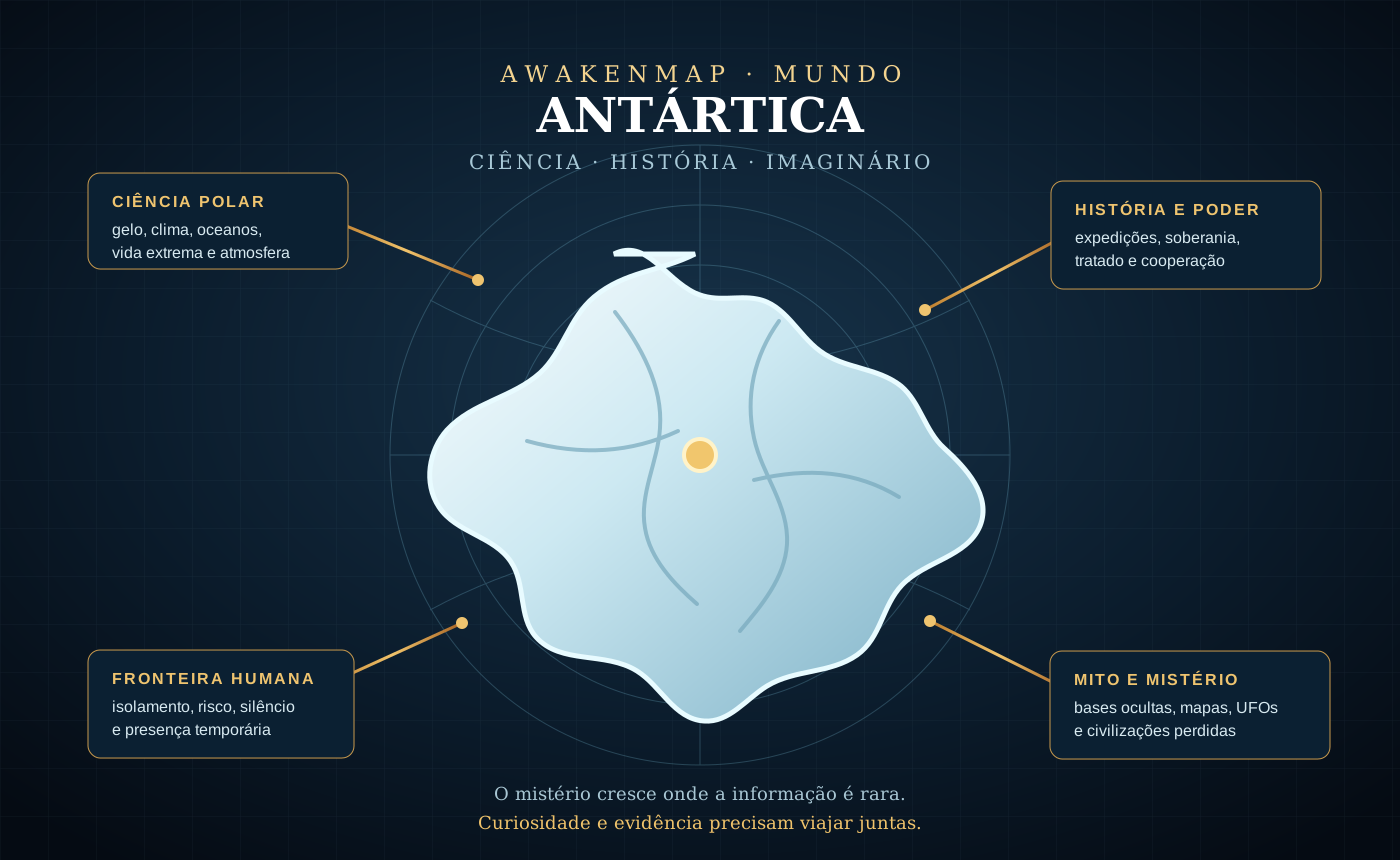
Nazi Germany sent an expedition to Queen Maud Land in 1938–1939, naming the surveyed area Neuschwabenland, or New Swabia. It conducted aerial reconnaissance and photography and dropped markers. The context included economic interests connected to whaling and ambitions for territorial presence.
The expedition is historical fact. The conclusion that it built a large, self-sufficient underground base does not have the same evidential status. Constructing and supplying such an installation would have required transport, personnel, materials, fuel and logistical lines that would have been difficult to conceal, especially during wartime.
Colin Summerhayes and Peter Beeching examined the Nazi Antarctic-base story in detail and identified chronological, logistical and documentary incompatibilities. The myth’s power comes from combining true elements—an expedition, submarines, Nazi fugitives and Allied operations—through speculative leaps.
Submarines, Argentina and the birth of a narrative
Two German submarines, U-530 and U-977, surrendered in Argentina after the war in Europe ended. The episode fuelled suspicions about passengers, treasure or secret missions. Real Nazi escape networks in South America made the wider hypothesis culturally plausible to many people.
Narrative plausibility, however, is not historical evidence. Submarines had limits of range, supply and habitability. Connecting their surrender in Argentina to an Antarctic base requires routes, cargo, orders, records and infrastructure. Without that chain, the story remains speculation.
This is an important AwakenMap pattern: a powerful theory is often built from real fragments connected by unproven links. Critical work does not deny the fragments; it examines every bridge.
Piri Reis and the idea of an ice-free Antarctica
The Piri Reis map, produced in 1513, is often presented as an accurate depiction of the Antarctic coastline before it was covered by ice. This interpretation became famous in literature about lost civilizations and advanced ancient knowledge.
The map compiles cartographic information available in the early sixteenth century and shows parts of the Atlantic and American coasts. Identifying its southern section as Antarctica is not a consensus among historians of cartography. Distortion, an imagined continuation of South America and period conventions provide less extraordinary explanations.
Even when an old map contains an intriguing resemblance, visual similarity alone is not enough. Projection, scale, the cartographer’s sources and systematic correspondence between geographic points must be considered. The proper question is not merely “does it look similar?” but “does this hypothesis explain the whole document better than its alternatives?”
Pyramids, structures and geological pareidolia
Photographs of Antarctic peaks with triangular faces circulate as evidence of artificial pyramids. Mountains shaped by glacial erosion can produce striking angular forms. Nunataks—peaks rising above the ice—appear isolated because much of the surrounding landscape is buried.
The human mind recognizes patterns with great efficiency. This ability helps us identify faces, routes and threats, but it also produces pareidolia: familiar forms perceived in natural structures. A mountain resembling a pyramid does not become a building without signs of modification, worked materials, archaeological context and dating.
This does not mean that surprising archaeology cannot exist. It means that Antarctica requires the same standard of evidence as any other place, perhaps a higher one because remote images encourage errors of scale and interpretation.
UFOs, entrances and the aesthetics of secrecy
Satellite images showing shadows, cracks, caves or digital artefacts are often interpreted as discs, doors and hangars. Some claims begin with real formations; others depend on image compression, incomplete mosaics, cloud or differences between satellite passes.
The continent’s aesthetics help: white space, silence, isolated bases, scientific equipment and poorly photographed regions resemble a science-fiction setting. When a culture already expects secrecy, every visual anomaly acquires a plot before it receives analysis.
A good investigation preserves curiosity and improves the question. What are the coordinates? Does the structure appear in images from different dates? What is its estimated size? Is there matching relief? Is there a glaciological explanation? Do other sensors confirm it? Verifiable mystery is more interesting than manufactured mystery.
Antarctica, Atlantis and lost civilizations
Modern authors have connected Antarctica to Atlantis, pole shifts and civilizations destroyed by catastrophe. A continent buried beneath ice provides a powerful image: a lost world literally sealed by time.
As a symbol, this association speaks of memory, collapse and preserved knowledge. As a historical hypothesis, it must confront geology, paleoclimate, the chronology of Antarctic ice, archaeology and plate tectonics. A complex civilization would leave several kinds of evidence, not only ambiguous forms seen from space.
The editorial value of the theme does not depend on declaring the hypothesis true. Its connection to Atlantis shows how myths migrate towards places that seem capable of hiding what known history does not contain.
Why Antarctica attracts so many theories
First, there is genuine inaccessibility. Few people will visit the continental interior. Second, there is historical state and military presence, even though much contemporary activity is scientific and logistical. Third, visual gaps remain: satellite maps do not eliminate cloud, shadow, limited resolution and seasonal variation.
Fourth, Antarctica concentrates modern anxieties. Climate change, war, secret technology, state power, civilizational collapse and extraterrestrial life all find a common stage there. The continent functions as the basement of the global imagination: whatever does not fit on the surface is placed beneath the ice.
Finally, there is a legitimate desire for the world to contain major discoveries. That desire does not need ridicule. It can be directed towards real discoveries: subglacial lakes, meteorites, buried mountain chains, extreme ecosystems and climate records.
Antarctica in AwakenMap
In AwakenMap, Antarctica connects to Operation Highjump, Neuschwabenland, the Nazi breakaway-group narrative, D.U.M.B.s, Inner Earth, Agartha, Atlantis, pyramids, ancient civilizations and the Secret Space Program. It is a node where territory, history and myth intersect.
These connections do not imply factual equivalence. A line on the map may represent narrative influence, cultural association, hypothesis or documented relationship. Antarctica is especially useful for teaching this difference: the same node can contain robust science, verifiable history, controversy and speculation.
Exploring the subject as a network prevents two mistakes. The first is believing every connection proves the theory. The second is assuming that if one claim fails, all mystery disappears. The continent remains extraordinary without alien bases.
How to investigate an Antarctic claim
Begin by identifying the claim’s nature. Is it historical, geological, cartographic, military or archaeological? Then find the source closest to the event: expedition diary, official document, scientific paper, original image or naval archive.
Check dates and logistics. How many people would be required? How would food, fuel and equipment arrive? Which ports, ships or aircraft would be involved? Seek independent confirmation and alternative explanations.
For images, confirm coordinates, scale and repetition over time. For quotations, find the complete text. For theories linking many episodes, test each connection separately. The more extraordinary the conclusion, the more important it is that the entire chain be demonstrated.
Critical reading
Antarctica contains secrets in the ordinary and fascinating sense of the word: phenomena still being studied, buried landscapes, climate archives and complex diplomatic decisions. This does not automatically prove hidden civilizations, Nazi bases or extraterrestrial technology.
The mature position is neither “nothing could exist” nor “anything is possible.” It is to keep categories clear. Science describes what has been measured. History reconstructs what documents support. A hypothesis proposes testable explanations. Myth organizes symbols and desires. A conspiracy alleges secret action and must demonstrate agents, means and evidence.
The white continent does not need exaggeration to remain mysterious. Its reality is already vast enough.
References and starting points
- Antarctic Treaty Secretariat — The Antarctic Treaty
- Antarctic Treaty Secretariat — Environmental Protocol
- U.S. National Science Foundation — Antarctic Sciences
- British Antarctic Survey — About Antarctica
- Naval History and Heritage Command — Polar Exploration
- Summerhayes & Beeching — Hitler’s Antarctic Base: The Myth and the Reality
- NASA Science — Ice Melt and Sea Level
Frequently asked questions
Does Antarctica belong to any country?
There are territorial claims, some overlapping, but the Antarctic Treaty preserves the legal situation without allowing activities during its lifetime to establish new claims. The region is governed through international cooperation and a specialized treaty system.
Does the Antarctic Treaty prohibit ordinary people from visiting?
No. Antarctic tourism exists, but travel depends on operators, permits, environmental rules and safety protocols. A remote, fragile environment requires regulation; that is not evidence of a secret prohibition.
Did Operation Highjump fight UFOs?
There is no robust historical documentation demonstrating a battle with UFOs. The military operation and its accidents are real; the extraterrestrial-combat interpretation appeared in later narratives.
Was there a Nazi base in Antarctica?
The German expedition of 1938–1939 is documented, but there is no solid evidence for a large operational underground base. Historical studies identify serious logistical and chronological problems in the theory.
Are there pyramids beneath or above the ice?
There are triangular peaks and complex subglacial terrain. So far, pyramid-like images have not been accompanied by archaeological evidence demonstrating human construction.
Could important discoveries still exist beneath the ice?
Yes. Subglacial lakes, mountains, paleoclimate records, meteorites and extreme ecosystems are genuine fields of discovery. The possibility of new discoveries does not automatically validate every extraordinary claim.
Keep exploring
You can open another path
 Terra e Antártica Terra 5/5 intensidade Explore →
  Terra e Antártica Pre-adamitas 5/5 intensidade Explore →
  Civilizações antigas Atlantida / Lemuria / Mu 4/5 intensidade Explore →
  Terra e Antártica Portais estelares 4/5 intensidade Explore →
  Terra e Antártica Operacao Highjump 4/5 intensidade Explore →
  Terra e Antártica Grupo nazista separatista 4/5 intensidade Explore →
Join the conversation
Comments are moderated. Keep the discussion respectful and distinguish evidence, interpretation and personal experience.